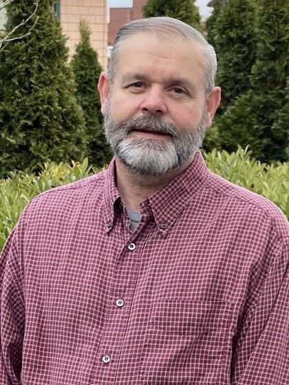
David Harrington, SIT
Senior Land Survey Manager
David Harrington is an experienced land surveyor with over 32 years of experience in surveying and civil engineering design. He is currently working towards obtaining his Professional Land Surveyor (PLS) registration.
Before joining WDA Design Group, Dave held key roles at various land surveying and civil engineering firms, including:
- Survey Crew Chief
- Survey Project Manager
- Field Operations Manager
- CAD Manager
His expertise spans a variety of land surveys, such as:
- Boundary surveys
- Land Court surveys
- ALTA/NSPS title insurance surveys
- Topographic, utility, and detail surveys
- Condominium surveys
- Easement and right-of-way surveys
- Construction layout and as-builts
- Deformation monitoring
Dave is skilled in utilizing advanced surveying equipment, including:
- Drones for aerial mapping
- Manual and robotic total stations
- Data collectors
- Traditional and digital levels
- Laser levels
- High-definition laser scanners
- GNSS receivers
In addition to his technical expertise, Dave has developed and implemented survey field and office standards and has been responsible for training survey personnel.
Throughout his career, Dave has contributed to various high-profile projects under the supervision of a licensed land surveyor, including:
- Boundary survey and title research for hydro-electric dams on the Blackstone River in Rhode Island
- Subsurface utility mapping for a large development at the former Naval Air Station in Weymouth, MA
- Survey mapping of approximately 10,000 burial plots at Mount Auburn Cemetery in Cambridge, MA
- Construction support for MassDOT on the Bruce Freeman Rail Trail in Sudbury, MA
- Deformation monitoring for a large LNG facility in Everett, MA
- NGRID URD surveys throughout Massachusetts and Rhode Island
Currently, Dave is working on a large existing conditions survey to MassDOT standards for a state highway and local connector road for the design of a new multi-use bike trail.
Dave actively participates in Massachusetts Association of Land Surveyors and Civil Engineers (MALSCE) seminars to stay informed about the latest industry standards, regulations, and codes. He is proficient in various software packages, including:
- AutoCAD and AutoCAD Civil 3D
- Carlson Survey & Civil Suite
- Infinity Software (Leica)
- Faro Laser Scanner
- Leica Survey Equipment
- ESRI Arc-GIS
- Q-GIS
Outside of Work
Dave enjoys outdoor activities such as hunting, fishing, and boating. He is passionate about hockey, both playing and coaching youth sports, and loves spending time at the beach with family and friends.

